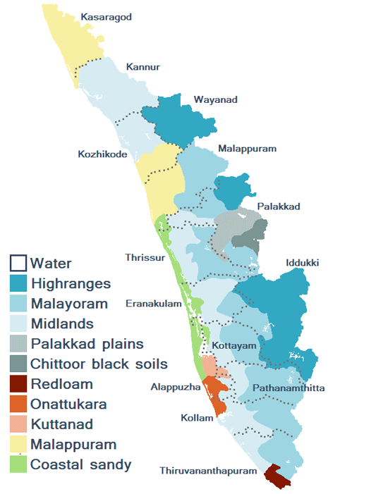
Kerala is an Indian state located in the south-west region of India on the Malabar coast. There are 14 Districts in the state and Thriuvananthapuram as its capital. Kerala is surrounded it is bordered by Karnataka to the north and north-east, Tamil Nadu to the east and south, and the Arabian Sea to the west.
Map of Kerala
Kerala Districts Map
- Kasaragod Map
- Kannur Map
- Wayanad Map
- Kozhikode Map
- Malappuram Map
- Palakkad Map
- Thrissur Map
- Ernakulam Map
- Idukki Map
- Kottayam Map
- Pathanamthitta Map
- Alappuzha Map
- Kollam Map
- Thiruvananthapuram Map
