Kerala is the southern most state of India surrounded by Arabian Sea, Tamil Nadu and Karanataka. Kerala is a popular destination of India and tourist from all over the world come here to enjoy the captivating beauty of mother nature at its best. Kerala can be accessed via any part of the country through all means of transport. Kerala has good transportation and some of the major Airport, Railway Station and National Highways of India.
Kerala Distance Chart
| City | Distance |
| Coimbatore | 102 Km |
| Madurai | 282 Km |
| Mangalore | 325 Km |
| Mysore | 220 Km |
| Mumbai | 1234 Km |
| New Delhi | 2654 Km |
| Bangalore | 459 Km |
| Chennai | 596 Km |
| Hyderabad | 936 Km |
| Goa | 677 Km |
| Pune | 1083 Km |
| Nagpur | 1480 Km |
| Ahemdabad | 1739 Km |
| Jaipur | 2393 Km |
| Sikkim | 2871 Km |
| Chandigarh | 2886 Km |
| Kolkatta | 2209 Km |
| Assam | 3351 Km |
| Jammu & Kasmir | 3709 Km |
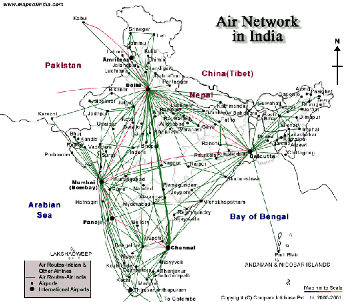
India Air Network
Cochin International Airport, Trivandrum International Airport, Calicut International Airport are located in Kerala State of India and have flights from almost every major cities of India.

Add Kerala Distance Chart Feedback, Comments, Reviews